


Where Is San Jose del Cabo? A Quick Geographic Orientation
San Jose del Cabo is a mid-size coastal city at the southern tip of Mexico’s Baja California Peninsula, roughly 32 km northeast of Cabo San Lucas. Here is a fast-reference overview before we get into the detail:
Key Fact |
Detail |
|---|---|
| Coordinates | 23.06°N, 109.70°W |
| Elevation | 45 m (148 ft) above sea level |
| Distance to Cabo San Lucas | ~32 km southwest via Highway 1 |
| Distance to Los Cabos Airport (SJD) | ~16 km north of downtown |
| Distance to La Paz | ~180 km north by road |
| Population (2020 census) | 136,285 |
| Tourist Corridor length | ~33 km between the two cities |
San Jose del Cabo is the quieter, more historic side of Los Cabos. While Cabo San Lucas is known for nightlife and busy marinas, San Jose del Cabo leans toward cobblestone streets, colonial architecture, a protected estuary, and a long-established art scene. Think of it as the calmer bookend of the same destination.
The city sits on a coastal plain where the Rio San Jose meets the Sea of Cortez, forming one of the largest freshwater estuaries in Baja California Sur. That geography shapes how the city reads on any map: a historic downtown grid inland, resort and beach zones along the coast, and Highway 1 running through as the main artery connecting everything north toward the airport and west toward Cabo San Lucas.
Whether you are landing at Los Cabos International Airport for the first time or planning a day trip around the region, understanding this layout is the first practical step to getting around without guesswork. And if you need a ride there and back, SJD Taxi is available day or night, any size group.
How to Read a San Jose del Cabo Map
On a standard map of San Jose del Cabo, the city divides into three distinct zones: the historic downtown (Centro), the Hotel Zone (Zona Hotelera) along the beach, and the newer residential and commercial areas expanding north and west. The coordinates place the city at 23.06139°N and 109.70806°W, at an average elevation of 45 meters.
The primary boundary to the east is the San Jose Estuary and the marina of Puerto Los Cabos. To the south lies the Sea of Cortez, while the northern boundaries stretch toward the foothills of the Sierra de la Laguna. Highway 1, also known as the Carretera Transpeninsular, serves as the main divider. Everything south of Highway 1 is predominantly tourist-focused beach resorts, while everything north leads into local neighborhoods and commercial centers.
Navigating the local streets is straightforward once you understand this layout. The historic core follows a classic Spanish colonial grid, while the Hotel Zone is dominated by Paseo San Jose, a wide boulevard running parallel to the beach. If you are trying to place a specific resort, condo development, or neighborhood, the San Jose del Cabo locations directory lists the addresses we serve across the city.
Downtown Landmarks on Your San Jose del Cabo Map
The heart of San Jose del Cabo is Plaza Mijares, the central town square. Directly facing this plaza is the historic parish church, the mission of San Jose del Cabo, originally founded by Jesuit missionaries in 1730.
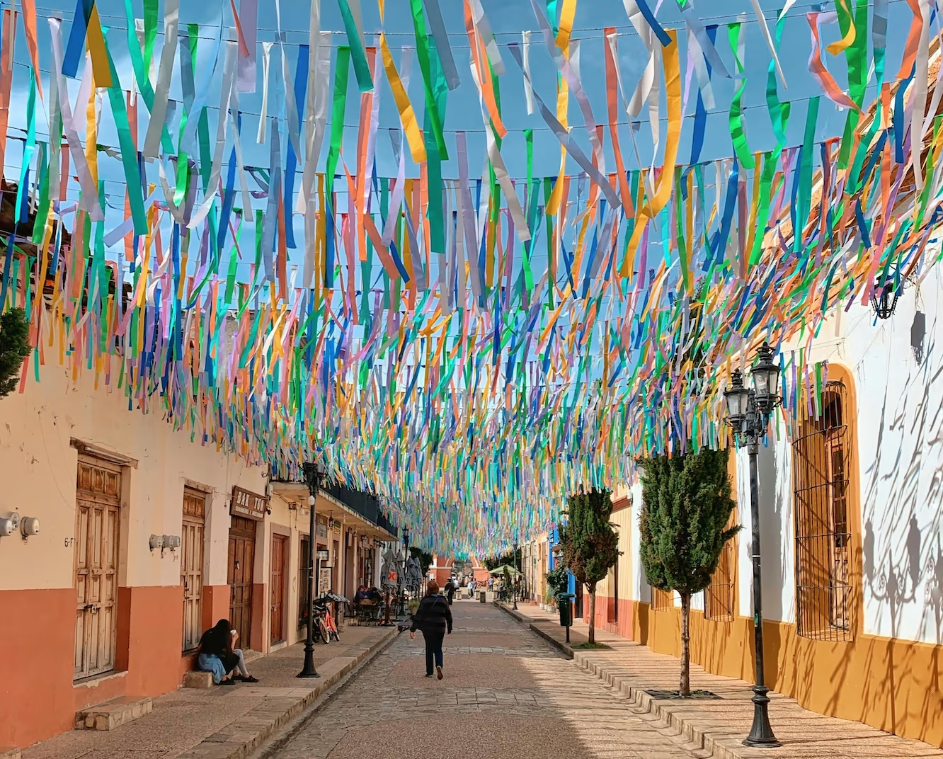
Just behind the mission lies the Gallery District, a concentrated area of fine art galleries, jewelry boutiques, and upscale restaurants. If you are visiting between November and June, this district hosts the weekly Art Walk on Thursday evenings, when the streets close to vehicles and local artists display their work outdoors. This a great destination in Los Cabos that is safe, full of people with many places to shop, eat or sit and relax and take in the scenery.
Natural Features and the Estuary
To the eastern edge of downtown lies the San Jose Estuary, one of the more significant ecological features on any local map. Fed by the Rio San Jose, which runs about 39 km from its origin in the Sierra de la Laguna mountains, this freshwater wetland is a protected sanctuary for more than 200 bird species.
On a map, the estuary acts as a green buffer separating the historic town center from the newer marina development of Puerto Los Cabos. The river runs underground for most of its path before pooling at the estuary and meeting the saltwater of the Sea of Cortez. That meeting of fresh and salt water makes it a quiet spot for early morning bird watching and kayaking.
Airport Proximity and Transportation Routes
Los Cabos International Airport (SJD) sits approximately 16 km north of downtown San Jose del Cabo. When leaving the airport, travelers have two main route options to reach the city:
- The toll road (cuota): the faster route, bypassing local traffic and delivering you to the western edge of San Jose del Cabo or onward to the Tourist Corridor.
- Highway 1 (libre): the free road, which runs through commercial areas and is slightly slower but easy to follow.
Booking an airport shuttle to San Jose del Cabo in advance means a driver is waiting as soon as you clear customs. If you would rather understand the on-arrival options first, our breakdown of Los Cabos taxi costs from the airport covers what a metered ride actually runs.
To check the exact highway junctions and exits between the airport terminals and the city center before you fly, it is worth pulling up San Jose del Cabo on Apple Maps or Google Maps and saving the area for offline use.
Connecting to Cabo San Lucas and the Corridor
The Tourist Corridor is a 33 km stretch of four-lane highway connecting San Jose del Cabo to Cabo San Lucas. Known locally as the Golden Corridor, this scenic highway is bordered by luxury resorts, championship golf courses, and long views where the desert meets the ocean.
When planning your journey along the corridor, it helps to compare your transit options. Shared shuttles are the cheaper choice, while private transfers offer direct routing and a few extras.
Service Type |
Average Cost (USD) |
Wait Time |
Stop Count |
Best For |
Amenities |
|---|---|---|---|---|---|
| Shared Shuttle | $19 to $36 per person | 15 to 60 mins | 2 to 4 stops | Budget travelers | Standard seating |
| Private Transfer | Custom quotes | None | Direct | Families, groups | Complimentary beer or water, optional grocery stops |
If you opt for a private transfer, you can add a pre-booked grocery stop to stock up before reaching your resort. Child car seats can be provided for any private vehicle, whereas shared shuttles do not permit car seats and require a paid seat for every passenger.
Mapping Beaches, Resorts, and Regional Day Trips
A detailed tourist map shows a coastline dotted with distinct resort zones and named beaches. Many beaches along this stretch have strong shore breaks and undertows that make them unsafe for swimming, but there are several swimmable exceptions worth marking.
The beaches most worth locating on your map, from downtown westward, are:
- Playa Palmilla: located near the One&Only Palmilla resort, this crescent-shaped bay is calm, swimmable, and popular with local families and snorkelers.
- Playa Acapulquito: known as Old Man’s Beach, a surf break right in front of the Cabo Surf Hotel.
- Playa Costa Azul: a well-known surf beach that hosts competitions, better suited to experienced surfers than casual swimmers.
- Playa El Chileno and Santa Maria Bay: further west along the Tourist Corridor, both are protected coves that are good for snorkeling; El Chileno has held Blue Flag certification.
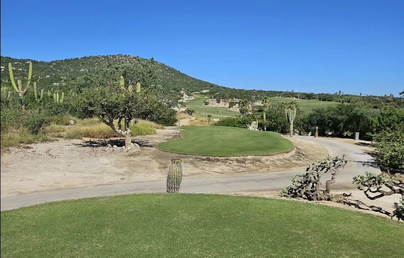
For golfers, the map fills in quickly along the corridor, with courses designed by Jack Nicklaus and Greg Norman among others, including those at Club Campestre, Puerto Los Cabos, and Palmilla. Our San Jose del Cabo travel guide goes further into what to do once you have got your bearings.
Touring Beyond the San Jose del Cabo Map
San Jose del Cabo works well as a base for regional day trips. Using Highway 1 and Highway 19, you can reach several nearby destinations:
- Todos Santos: roughly 90 km northwest, this Pueblo Magico is known for its historic mission, the surf scene at nearby Cerritos, and its art galleries.
- La Paz: the state capital, about 180 km north, with quiet beaches like Balandra and seasonal whale shark tours.
- The East Cape: stretching east from Puerto Los Cabos, this rugged coastline leads to Cabo Pulmo National Park, home to a living coral reef.
Frequently Asked Questions About San Jose del Cabo
How far is the airport from downtown San Jose del Cabo?
The airport is approximately 16 km north of downtown. The drive takes about 15 to 20 minutes via the toll road, or roughly 25 minutes using the free Highway 1.
Is San Jose del Cabo safe for tourists?
Los Cabos is generally regarded as one of the safer destinations in Mexico, and the tourist zones, historic downtown, and resort corridors are well patrolled. Normal travel precautions still apply: keep valuables out of sight, use booked transport at night, and check current guidance from your own government before you travel.
What is the best way to travel between the two capes?
For budget-conscious travelers, the Ruta del Desierto public bus runs frequently along the Tourist Corridor. For convenience and speed, a private transfer or a pre-arranged shuttle is the option most visitors choose.
Where can I find a reliable offline map of San Jose del Cabo?
Before arriving, download the area for offline use in Google Maps or Apple Maps. Physical tourist maps are also widely available at Los Cabos International Airport (SJD) information desks and in most major resort lobbies in the Hotel Zone.
Is downtown San Jose del Cabo walkable?
Yes. The historic Centro and Gallery District are easy to cover on foot. The streets follow a grid around Plaza Mijares, so you can explore shops, restaurants, and historic sites without a vehicle.
Booking Your Ride with SJD Taxi
Getting around a new destination is simpler when you are not working out driving directions, local traffic rules, or where to park. SJD Taxi runs private and shared airport transfers across San Jose del Cabo, the Tourist Corridor, and Cabo San Lucas.
With a fleet of Suburbans, transit vans, and SUVs, we handle door-to-door transport, including addresses inside gated communities. Book a private transfer and you can have a cold beer or water on arrival, request a grocery stop on the way, and arrange to be dropped at one resort and collected from another at the end of your stay.
To check rates for your specific resort and reserve a vehicle visit our reservation page to book easily online.